
01EventKnow what you own.
From Asset Data to Predictive Operations
Building the trusted operational foundation that municipal AI needs.

How GIS, connected assets, field intelligence and real-time operations are building the foundation for smarter communities.
View the events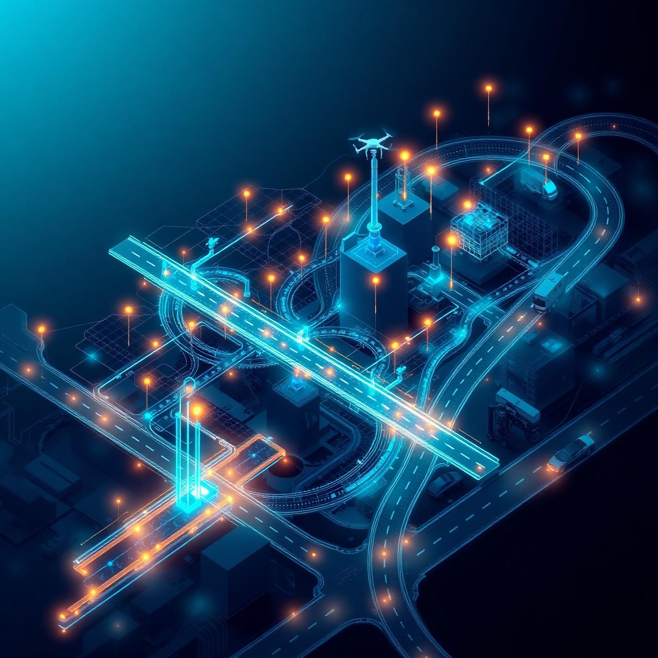
Series Overview
Artificial intelligence in local government will not begin with a chatbot. It will begin with accurate information about roads, bridges, vehicles, facilities, parks, projects, work orders, inspections and changing conditions in the field.
Public Works organizations already manage many of the systems, assets and operational datasets that AI will depend upon. Every inspection, service request, sensor reading, vehicle movement, maintenance record and capital project adds to a continuously evolving picture of how a community operates.
GIS provides the geographic framework that connects this information — organizing assets by location, integrating operational systems, monitoring changing conditions, coordinating field and office teams, and establishing the trusted data foundation required for automation, predictive analytics and AI-assisted decision-making.
Series Objectives
Designed for executive leaders and the practitioners building the systems beneath them.
Understand why Public Works data is foundational to municipal AI.
Move from fragmented records toward authoritative, location-based data.
Connect GIS, asset management, work orders, sensors, imagery and field observations.
Prepare operational data for predictive analytics and AI applications.
Identify practical AI use cases that can deliver measurable value today.
Establish appropriate governance, quality controls and human oversight.
Create an achievable roadmap from data readiness to operational deployment.
The Six Events
Building the trusted operational foundation that municipal AI needs.

Turning roadway data into safer, more resilient and better-performing infrastructure.
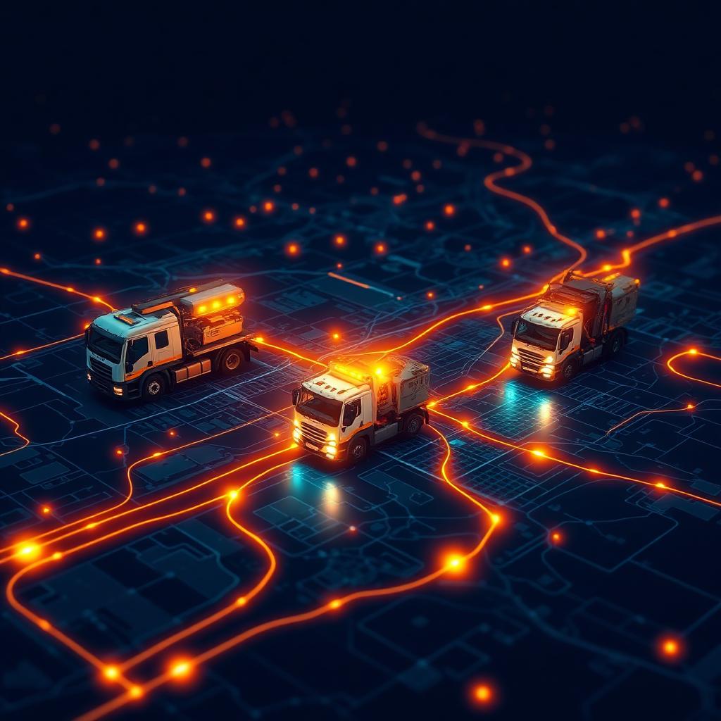
Transforming daily field activity into intelligence for the entire organization.

Connecting GIS, digital twins and engineering data across the capital-project lifecycle.
Bringing location intelligence, sensors and AI inside buildings and across public spaces.

Using GIS and AI to anticipate disruption, coordinate response and accelerate recovery.
The Series Narrative
Create accurate, governed and location-based asset information.
Combine inspections, imagery, sensors and historical records.
Turn crews, vehicles and daily operations into continuously updated intelligence.
Use digital twins, modeling and connected project information to improve capital decisions.
Extend intelligent asset management across roads, buildings, parks and public spaces.
Apply real-time intelligence and AI when community needs are most urgent.
Who Will Attend
Event Format
Each event brings together a senior Public Works or engineering leader, a GIS or data leader, a technology specialist and a local-government case study — followed by a practical post-event resource guide.
Strategic introduction and industry context
Local-government case study
Technology and workflow demonstration
Panel discussion
Audience questions
Practical next steps
Series Positioning
Public Works organizations are paving the way for AI in local government because they are already responsible for the physical assets, operational workflows and real-time decisions that keep communities functioning.
By connecting GIS, asset management, field operations, imagery, sensors, digital twins and human expertise, Public Works can create the trusted operational foundation that allows AI to move beyond experimentation and deliver measurable public value.
Join the Series
Request information about attending, speaking, sponsoring or contributing a case study.